
J&K and Ladakh expected to witness snowfall and rain on 2-3 February
The cold waves are continuously affecting northernmost parts of India and there are not many chances that the weather will take a u-turn in the upcoming couple of days. The weather department has forecasted that snow and rain will dominate the weather of the region on February 2-3.
The India Meteorological Department (IMD) has stated that a new western disturbance—an extratropical storm which begins in the Mediterranean region, travels eastwards, and brings precipitation over the northern parts of the Indian subcontinent during the winter months—is highly expected to affect the North Indian weather starting Monday, February 1.
Between 1-3 February, this disturbance is expected to cause scattered rains and/or snowfall, moderate thunderstorms and lightning over the Western Himalayan region (WHR).
An official of the MET department told IANS that Jammu and Kashmir and Ladakh are likely to witness dry weather till January 31, after which a spell of snow and light rain can be expected to take place on February 2 and 3. The official said that starting of the new month will cause improvement in both minimum and maximum temperature.
Presently, Chillai Kalan, the ongoing 40-day-long period of extreme cold winter is continuing to bring zero to sub-zero temperatures in parts of the WHR. Chillai Kalan will end on January 31.
In the early morning on Thursday, Srinagar registered a minimum temperature of -5.6°C, Pahalgam recorded -12.3°C, whereas Gulmarg noted -13.4°C. Moreover, the Leh town of Ladakh received -16.8°C of mercury levels and Kargil recorded -21.3°C. In Jammu city, the minimum temperature was at 6.2°C, 6°C in Katra, 0.5°C in Batote, -2.2°C in Banihal, and -2°C in Bhaderwah.
The IMD has also predicted that cold wave will continue to flow in some regions of Uttarakhand, Punjab, Haryana, Uttar Pradesh, and Bihar over the next 2-3 days.
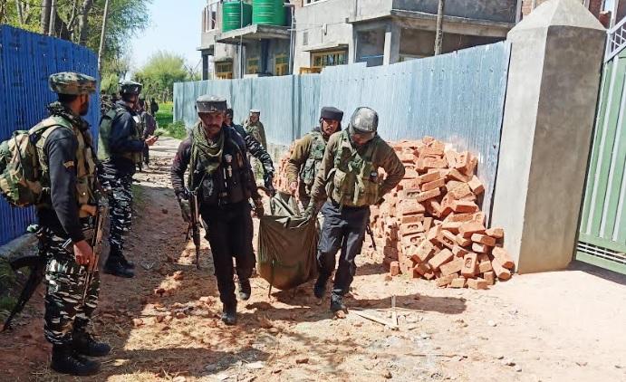
Three ultras eliminated during encounter in Kashmir’s Baramulla

Minor bikers not to be sold fuel in Doda district
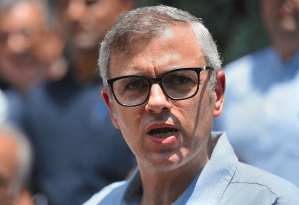
Omar restores pre-independence ‘Durbar Move’ practice stopped 4 years ago
About The Author
JK Newsline
JK Newsline is an independent news website based in J&K (India). The website brings to its readers news from Jammu, Kashmir, Ladakh, Bollywood and national news. It provides latest, breaking and special news stories about the region. JK Newsline is not funded by any political organization or group. Social profiles of JK Newsline include Facebook , Twitter and Instagram. Read more About Us . You can also write for us